Nambiar District 25 Bangalore Experience luxury living at Nambiar District 25 Apartments, located at Muthanallur...
Read More
Apartments on Sarjapur Road Redefining Modern Living in Bangalore
Apartments on Sarjapur Road Redefining Modern Living in Bangalore Sarjapur Road, an iconic address in...
Read More
Flats on Sarjapur Road by Nambiar Builders Your Gateway to Elegant Living
Flats on Sarjapur Road by Nambiar Builders Your Gateway to Elegant Living Sarjapur Road, a...
Read More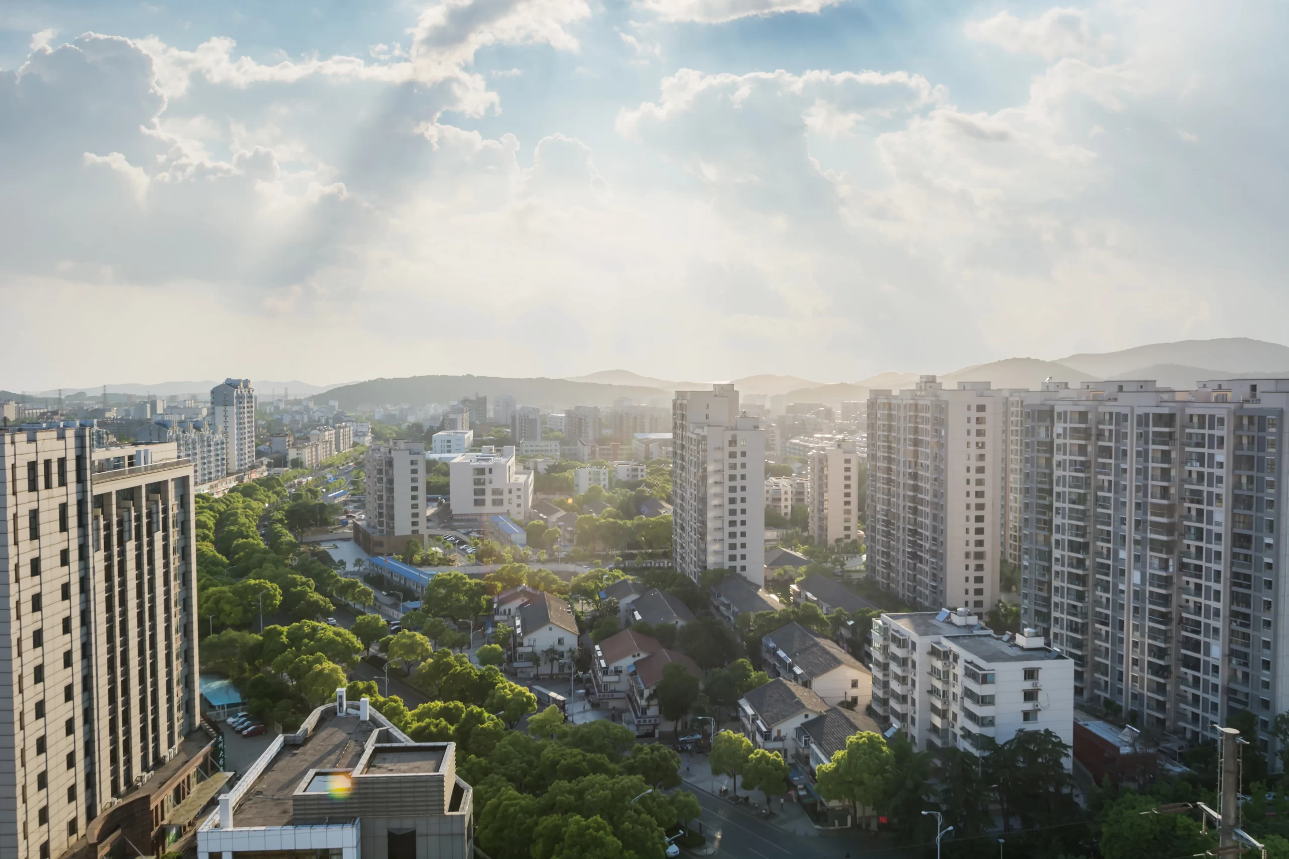
Nambiar District 25 Sarjapur Road
Nambiar District 25 Sarjapur Road, Bangalore Sarjapur Road, an upscale neighborhood in East Bangalore, is...
Read More
Nambiar District 25 Launch Date
Nambiar District 25 Launch Date and Key Highlights Nambiar Builders, a reputed name in real...
Read More
Nambiar District 25 Possession Date
Nambiar District 25 Possession Date December 2028 Onwards Introduction Nambiar District 25 is a luxurious...
Read More
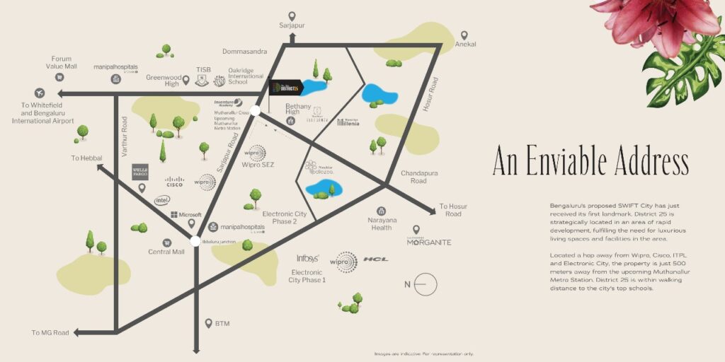
Nambiar District 25 Connectivity
Nambiar District 25 Connectivity Seamlessly Connected to Bangalore’s Best Nambiar District 25, located at Muthanallur...
Read More
Nambiar Builders
Nambiar District 25 Connectivity Seamlessly Connected to Bangalore’s Best Nambiar Builders is a name synonymous...
Read More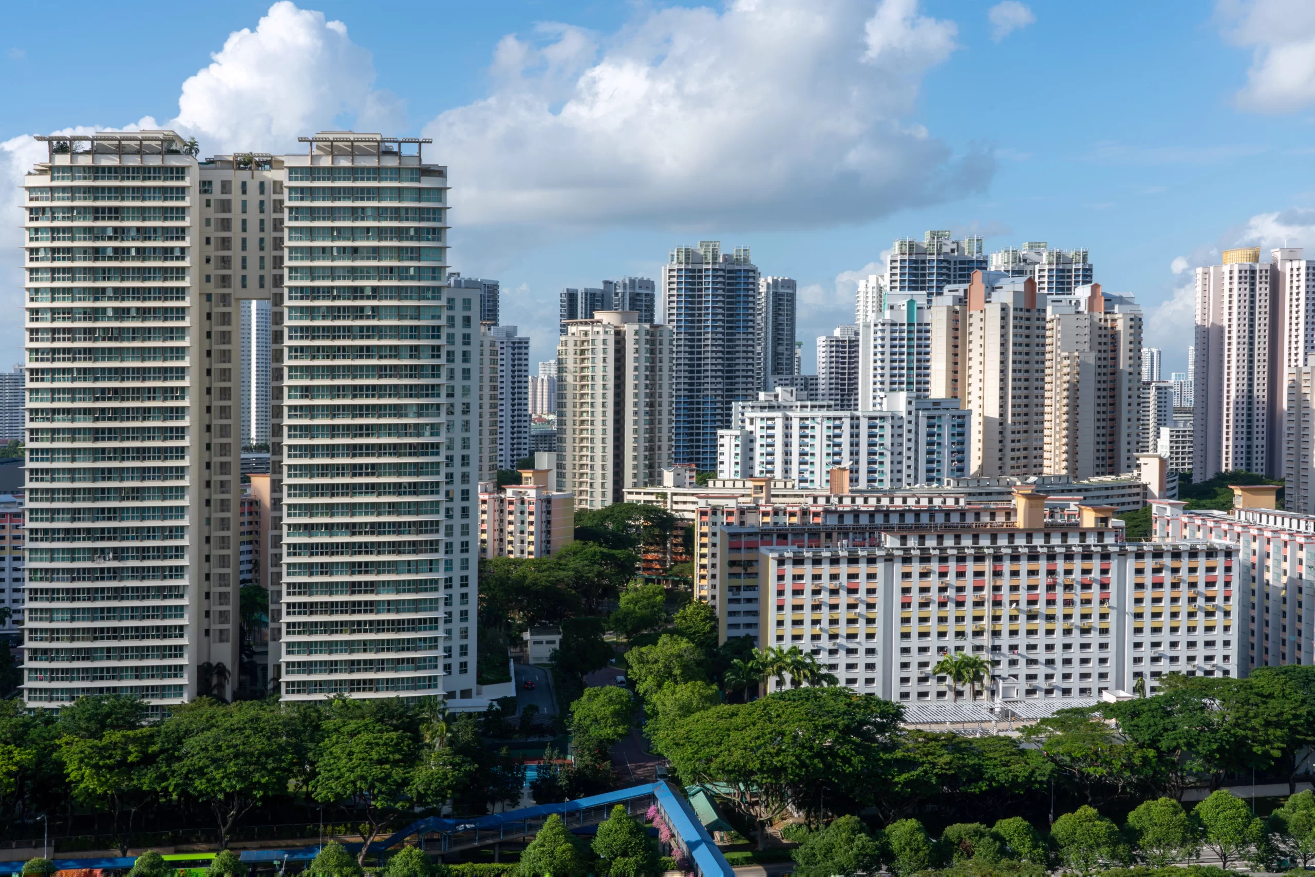
Nambiar District 25 Apartments
Nambiar District 25 Apartments Redefining Luxury Living in Bangalore Nambiar District 25 Apartments, located at...
Read More
Nambiar District 25 Advantages
Nambiar District 25 Advantages A Comprehensive Look at Luxury Living Nambiar Builders located on the...
Read More